Kings Lynn Town Guides
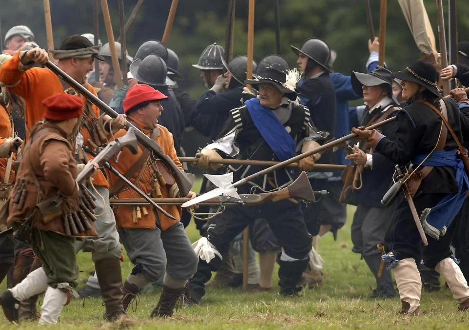
Town Walls and the Civil War
Cavaliers
〰️
Roundheads
〰️
Oliver Cromwell
〰️
Earl of Manchester
〰️
Civil War
〰️
Cavaliers 〰️ Roundheads 〰️ Oliver Cromwell 〰️ Earl of Manchester 〰️ Civil War 〰️
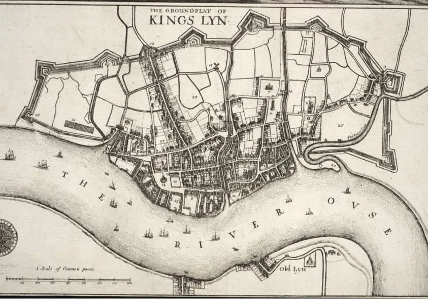
King’s Lynn Groundplat
Click The Picture Above to Watch a Brief Video About King’s Lynn in the Civil War (YouTube)
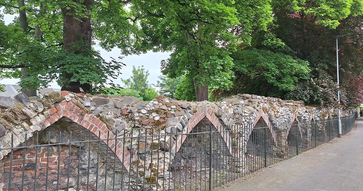
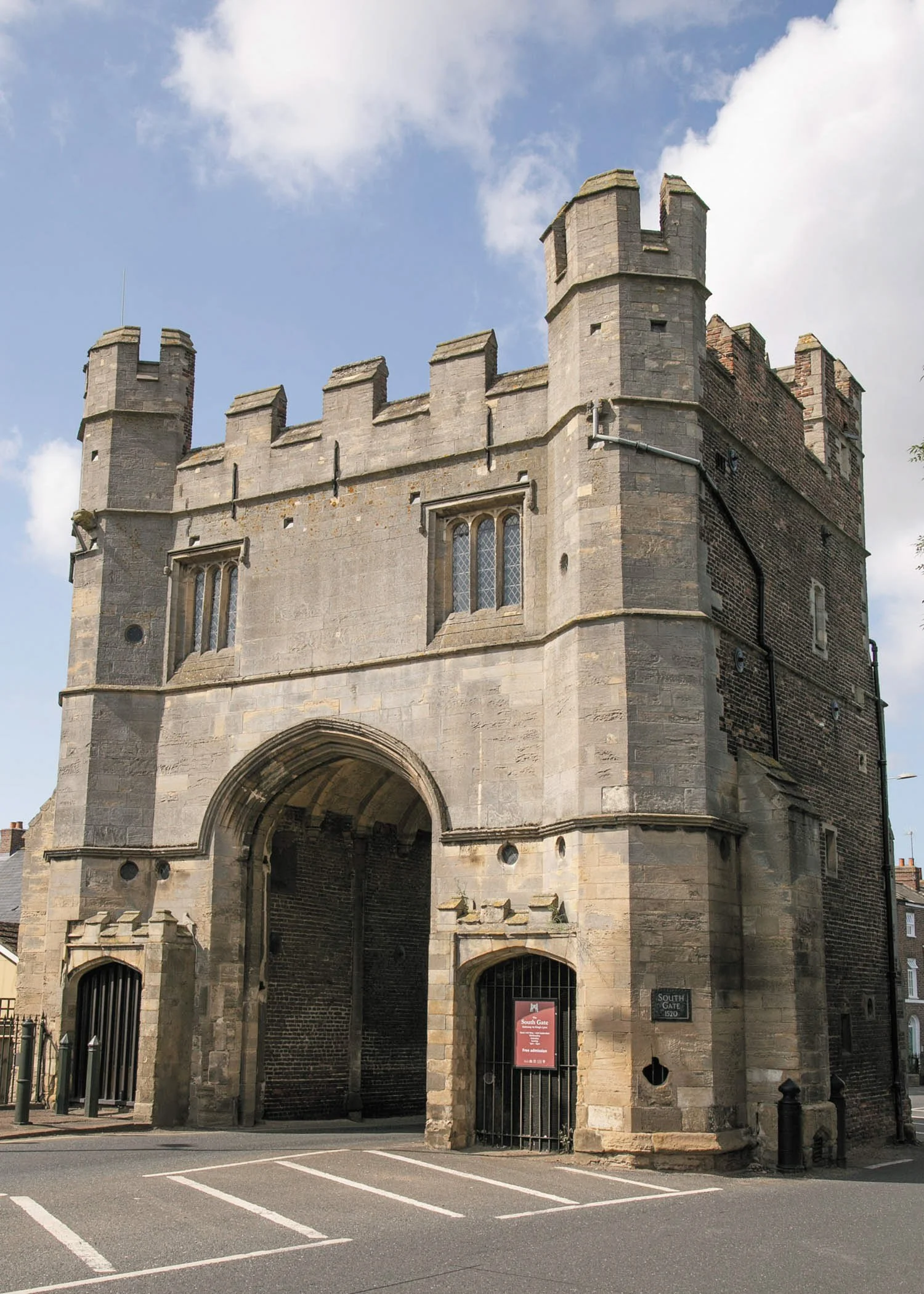
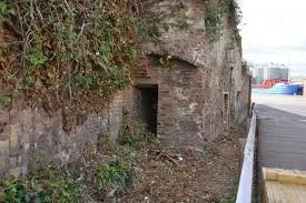
Civil War Defences
The year is 1643, Smoke drifts above the ramparts, King’s Lynn stands divided — its walls braced for siege, its people torn by loyalty and fear. Once called the most fortified town in the East, these walls have seen cannon fire, rebellion and surrender, every brick and bastion still carries the echo of that struggle.
Walk the old defensive line and trace the battleground of a town at war with itself. Stand where soldiers fought, where townsfolk watched the sky for fire, where King’s Lynn’s future hung by a thread. Guided by our experts, you’ll follow the surviving earthworks and gateways that shaped this decisive chapter in local history.
The walk lasts around two and a half hours and crosses some rough ground — sturdy shoes and weatherproof clothing are essential. (Not suitable for wheelchair users.)
Meet at St Ann’s Fort. Opposite True’s Yard. This walk ends at Boal Quay.